Trending

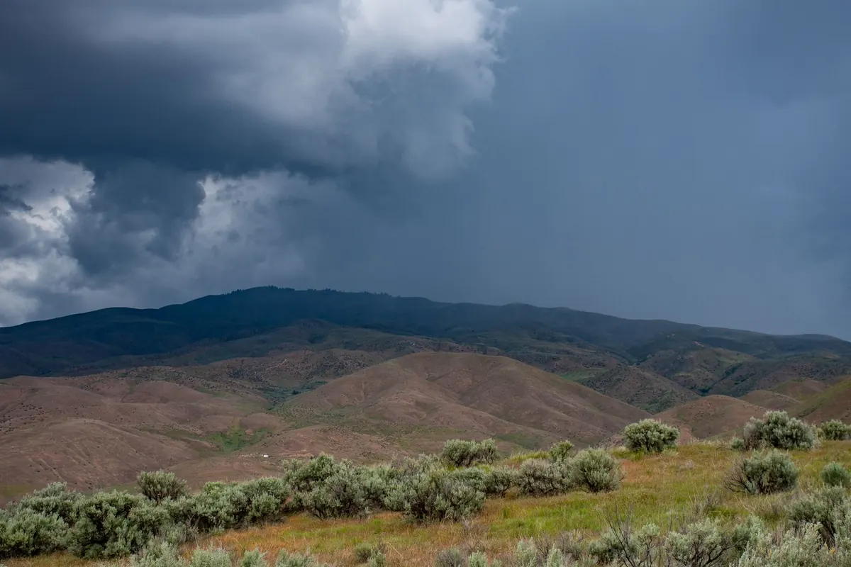
Most mountain days that go wrong do not begin with a dramatic accident. They begin with a hiker who checked the weather for the village where they parked the car, saw 22°C and a sun symbol, and packed accordingly. Four hours later they are on a ridge at 2,400 metres in a 45 km/h wind, wearing a cotton T-shirt, watching a cumulus tower swell over the next valley. The forecast was not wrong. It was simply for a different place. Reading mountain weather is a skill, and it becomes far easier once you know which numbers actually matter.
Weather apps default to towns. That is fine for deciding whether to hang laundry, and close to useless for a summit day. Most forecast services let you drag a pin or search coordinates and elevation — spend thirty seconds finding the grid point nearest your high point rather than the one nearest your hotel.
Then do the arithmetic yourself. Temperature drops roughly 6°C for every 1,000 metres of height gained. A 1,500-metre climb from a valley at 18°C puts you in air around 9°C cooler before wind is even considered. Add a 30 km/h breeze and the effective chill on an exposed ridge sits close to freezing. That is a July afternoon, not a winter epic.
Also glance at the neighbouring valleys. Weather does not respect your itinerary, and a system arriving over the next ridge may reach you an hour or two earlier than the forecast for your starting village suggests.
The single most useful number in an Alpine forecast is the freezing level. If it is forecast at 2,800 metres and your summit sits at 2,900, expect snow or graupel on the top even in high summer, and expect wet rock on the descent. A freezing level dropping through the day is a signal to shorten the route or choose something lower.
Watch for inversions too. In autumn and winter, the valley can be grey and cold at 800 metres while the ridge at 2,000 metres is sunny and mild. Dressing for the car park is one of the most common beginner mistakes. Pack a warm mid layer, a hat and thin gloves on every Alpine day hike, even when the valley forecast reads like a beach day. Cotton next to the skin is worth avoiding entirely; it holds water and stops insulating.
Wind rarely features in a beginner's planning and almost always shapes the day. Read both the sustained speed and the gusts — if gusts are roughly double the sustained figure, plan for the gusts, because that is what will hit you on the crest.
As a rough guide rather than a hard rule: around 20 to 30 km/h is noticeable and tiring; 40 to 50 km/h makes exposed ridges and loose scree genuinely awkward; anything above that argues for a lower, sheltered route. On a narrow ridge, wind is not just uncomfortable — it affects balance and judgement.
Grid forecasts smooth over terrain. Cols, saddles and ridge crests funnel and accelerate air, and the wind at a notch between two peaks can be noticeably stronger than the number for the surrounding area. Wind direction matters as well. A north-westerly behind a front usually brings cool, clear, stable air; a south-westerly often arrives warmer and wetter, with more cloud building through the day. In the Alps, a föhn pattern brings warm, dry, gusty air, rapid snowmelt and unusually clear views — beautiful, but hard work on exposed ground.
A 40% chance of rain does not mean a wet day; it usually means scattered showers you can plan around. An 80% chance with meaningful totals means something different. Read the hourly timeline rather than the daily symbol, and mark two moments on it: when you expect to be on the summit, and when you expect to be back at the car.
Check these items in the precipitation panel before you commit:
If thunder appears in the forecast, treat it as the day's main constraint. Lightning favours high, exposed and isolated ground, so descending early is the sensible response rather than a heroic one.
Cloud is the part of the forecast you can verify with your own eyes, and it updates constantly. Small cumulus that start building vertically before late morning are the classic warning of afternoon thunderstorms. A flat cap or lenticular cloud parked over a summit means strong wind up there, whatever the grid says.
Cloud base is the other practical detail. If the forecast cloud base sits below your summit, you are planning a walk in fog: expect poor visibility, cold, damp conditions and slower navigation. Check mountain webcams and high-altitude weather stations in the morning — they show you the reality rather than the model.
A forecast is a hypothesis, and the mountain gets the final word. If cloud is building faster than predicted, if the wind is already stronger than forecast at mid-morning, or if the summit is disappearing into a dark base, believe what you see. Turn around while the decision is still comfortable, and tell someone your route and expected return time before you set off. Local hut staff, mountain guides and tourist offices are excellent sources for conditions on the day, and the local mountain rescue service is the right call if something goes wrong. Reading the numbers well is what buys you the freedom to enjoy the day rather than spend it managing surprises.
Photo: Brett Sayles / Pexels